Climate Summary
With 4-8 inches of precipitation across northern Ohio over the last 30 days (March 13 – April 12), drought conditions have eased across northwest Ohio. The latest U.S. Drought Monitor shows that just 2% of the state remains in drought (D1-moderate drought or worse), down from about 17% three months ago and 74% at the beginning of October 2025 (Figure 1). The driest conditions remain across portions of Defiance, Henry, Paulding, Putnam, Van Wert, and Wood Counties where signs of hydroloic drought remain (low reservoirs, farm ponds). Although the surface was very wet after the rain a couple of weeks ago, the past seven days have been fairly dry across Ohio (less than 0.25 inches for most locations). Combined with very warm temperatures for April (4-10°F above normal) and windy conditions, the surface has dried out significantly this week with soil moisture and stream flows falling across the state. Some counties near the Ohio River are experiencing below normal precipitation over the last 30 days.

For the latest drought conditions and agricultural resources, please visit our Drought Conditions and Resources page or the State Climate Office of Ohio.
Soils
The latest daily average 2-inch soil temperature and moisture values from the Ohio Mesonet shows soils continue to warm nicely across the state (Figure 2). The warmest soil temperatures are found across southern Ohio, where daily averages are now in the low 60s with daily maximum values reaching the low to mid 70s. Soil moisture conditions reflect the wetter conditions of late across northern counties, while our sensors in southern Ohio support a drying trend for this area.

Outlook
An active weather week is in store for Ohio this week, with multiple rounds of showers and storms possible. However, it will not rain all day or everyday across the entire state. Western and northwestern Ohio has the greatest chance of storms this week, and a few storms may be severe on Tuesday April 14. We may catch a break from the wet weather on Friday before a strong cold front threatens with additional rain for the weekend. Temperatures will be above average with highs ranging from the mid-70s north to the mid-80s south through Saturday, with mild overnight temperatures. Colder air will filter in on Sunday and the first part of next week. In fact, we may find frost and/or freeze conditions possible on Monday and Tuesday mornings (April 20-21). The current National Weather Service precipitation forecast shows precipitation totals between 0.25-0.50 inches across southern Ohio to as much as three inches across far northwest Ohio (Figure 3). It should be noted as well that we are watching the potential for a sustained period of below normal temperatures for April 26 – May 5. It is too early to predict exact temperatures, but we will update the forecast as May draws nearer.

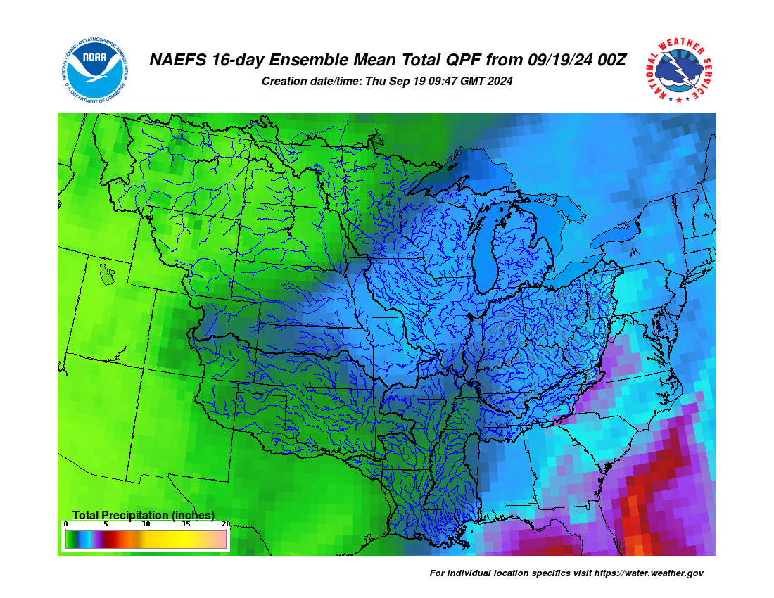
The 8-14 day outlook from the Climate Prediction Center for the period of April 21 – 27, 2026 and the 16-Day Rainfall Outlook from NOAA/NWS/Ohio River Forecast Center show probabilities leaning toward warmer and wetter than average (Figure 4). Climatology for this period indicates a normal high-temperature range of 60-65°F, a low-temperature range of 39-44°F, and weekly total precipitation of 0.80 – 1.05 inch.