Climate Summary
After a very wet August and September, the weather pattern in October turned much quieter. Not only has this been great for harvest, but the warm sunny days, and cool nights above freezing are allowing for spectacular fall colors to pop. Only counties in far southeastern and northwestern Ohio have seen near to above normal rainfall (Figure 1). In fact, most locations in Ohio have failed to receive 1.5 inches of rain through the first 25 days, representing 10-30% of normal. During this time, temperatures have been running 2-4°F above normal with low humidity. With soil moisture and stream flows falling behind seasonal normals, the latest U.S. Drought Monitor shows about 5% of the state is currently designated abnormally dry (D0). For more monthly and quarterly updates, please visit the State Climate Office of Ohio or sign up for email updates at https://go.osu.edu/oh-climate-summaries.

Weather Forecast & Outlook
High pressure will remain in control through Saturday for most locations. Weak, mainly dry fronts will cross the state from time to time, with minor wind direction changes and a stray shower possible on Thursday (northern Ohio). Temperatures will remain unchanged from recent conditions, with highs in the mid 60s to mid 70s and overnight lows in the 40s and 50s. A more robust system will affect the region starting on Sunday through Monday, increasing the chance of showers and storms. A few storms could be severe as well. Overall, a cooler, damp pattern is expected for the first week of November. The National Weather Service precipitation forecast shows 0.1-0.25 inches of rain across northern Ohio this week, with 0.25-0.75 inches possible across southern Ohio (Figure 2).

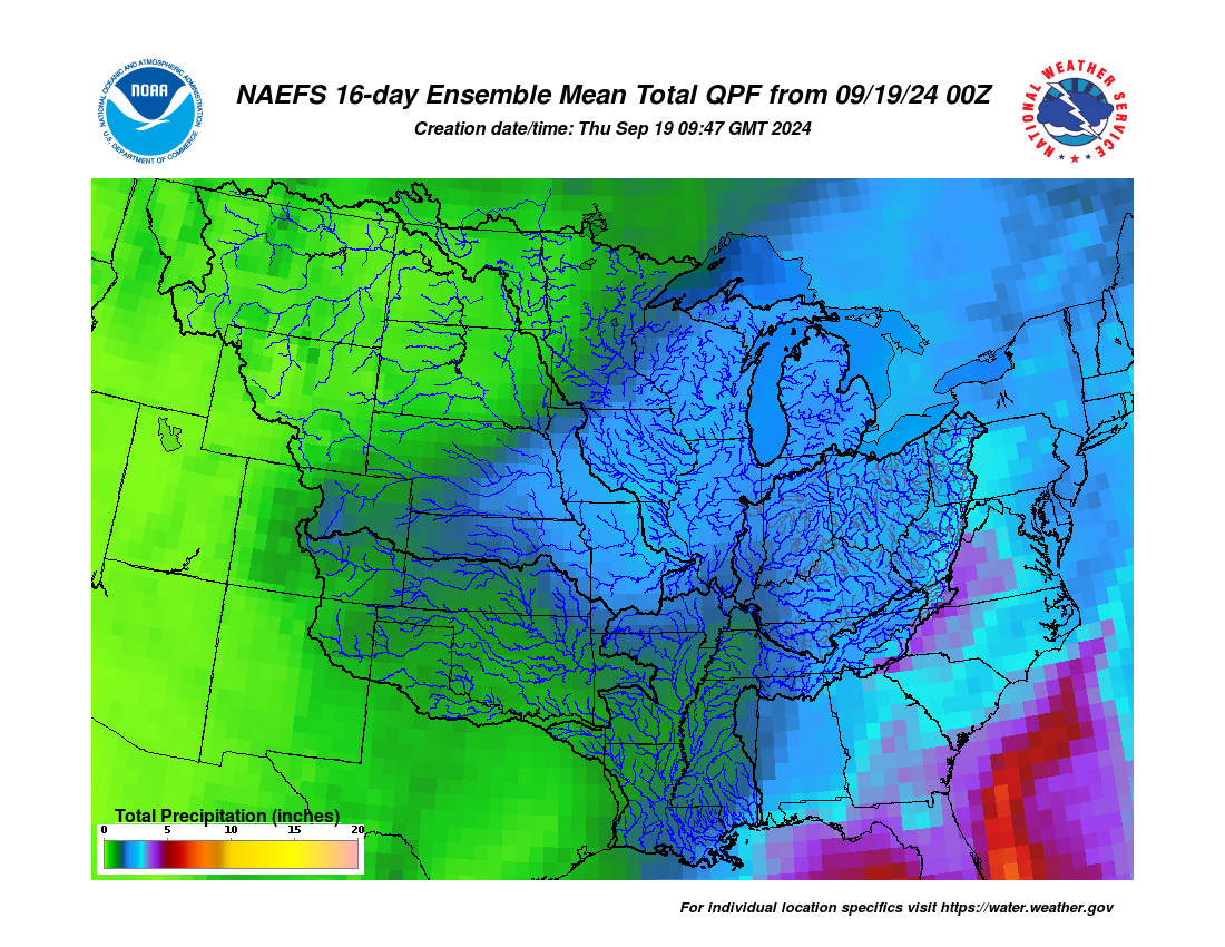
The 8–14-day outlook from the Climate Prediction Center for the period of November 3 – 9, 2026, and the 16-Day Rainfall Outlook from NOAA/NWS/Ohio River Forecast Center show temperatures and precipitation leaning above normal (Figure 3). Climatology for this period indicates a normal high-temperature range of 58-62°F, a low-temperature range of 38-42°F, and weekly total precipitation of 0.55-0.75 inches.